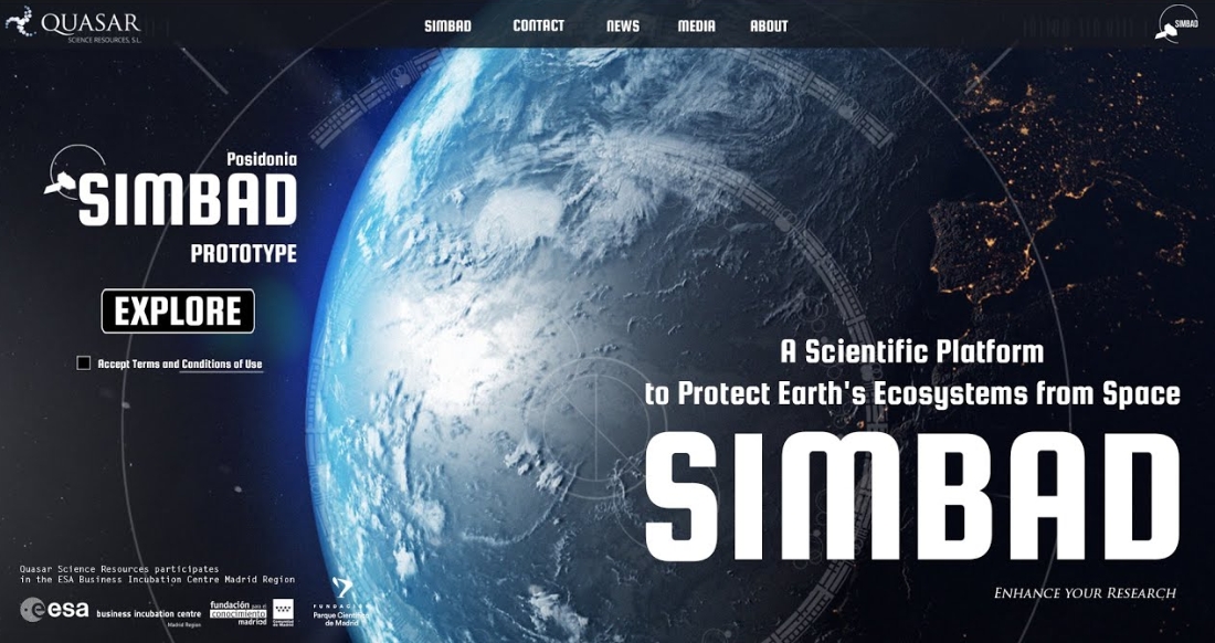
SIMBAD is a scientific platform created with the aim of protecting Earth’s ecosystems from space, specifically to monitor Posidonia Oceanica (P. Oceanica) in the Mediterranean Sea. This platform has been developed by Quasar, a company selected in 2018 by the ESA BIC Community of Madrid program and incubated in the Madrid Science Park.
P. Oceanica is a submarine plant that serves as an ecosystem for more than 1000 animal species and 400 plant species, as well as being one of the main indicators of coastal water quality as they function as carbon sinks (CO2 storage), proving vital in their contribution against climate change, while oxygenating coastal waters. It is a plant that grows in shallow waters (up to 30-40 m), where sunlight reaches the seabed, thus forming marine meadows in the Mediterranean basins. For this reason, it is essential to monitor its growth and evolution, as well as identify any incident that directly affects its extension, such as spills or the dragging of anchors along the ocean floor.

This continuous monitoring, an image every 2-5 days, is achieved using multiband images from the Sentinel-2 satellite (Earth observation mission developed by ESA within the Copernicus program). In particular, bands B1-B4, B8 of Sentinel-2 are used. Satellite images must be processed to prepare a dataset that provides a classification of the different types of seabed. First, the area of interest is defined and the water column correction is performed, considering that atmospheric correction is not necessary as Sentinel-2 L2A data is already atmospherically corrected. Next, image pixels corresponding to land areas, clouds, and deep waters are removed. This data is combined with bathymetry data (sea depth) to eliminate areas more than 30 m deep. On the other hand, the land mask is prepared using data from Sentinel-2’s B8 band, while cloud masks are already included in Sentinel-2 data. Finally, with the use of machine learning algorithms, it is possible to identify Posidonia areas.
SIMBAD Prototype is the summary of a year of development in which both the necessary infrastructure and analysis tools have been implemented. At its launch, SIMBAD Prototype is a platform that displays distribution maps of P. Oceanica meadows in the Balearic Islands, as well as the latest project news, the option to subscribe to Quasar’s newsletter, access to images and documents related to the project, etc.
In a next development phase, SIMBAD will include maps covering the entire Mediterranean Sea. Currently, work is being done on implementing the ability to go back in time, which will allow exploration of the evolution of these meadows and help protect the environment. In the future, the company will continue to improve and add functionalities to the user interface, as well as develop software tools that allow agile interaction with these maps.


